About 7 miles west of Chicago Union Station on the old Milwaulkee Road railroad line, on the northwest side....
...is this old industrial/working class neighborhood:

...founded in 1882 as a factory site/industrial suburb for the Cragin brothers metalworking buisiness..the railroad brought industry, and industry brought workers to settle nearby.
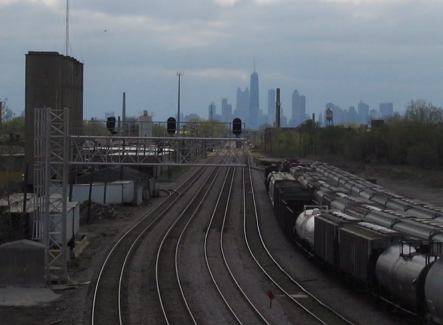
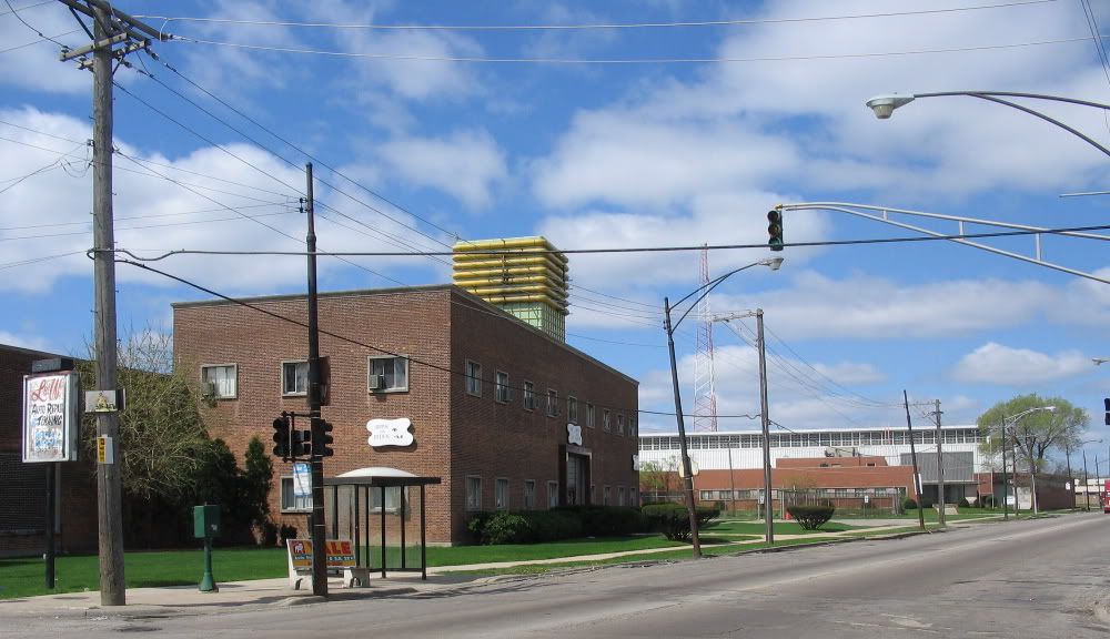
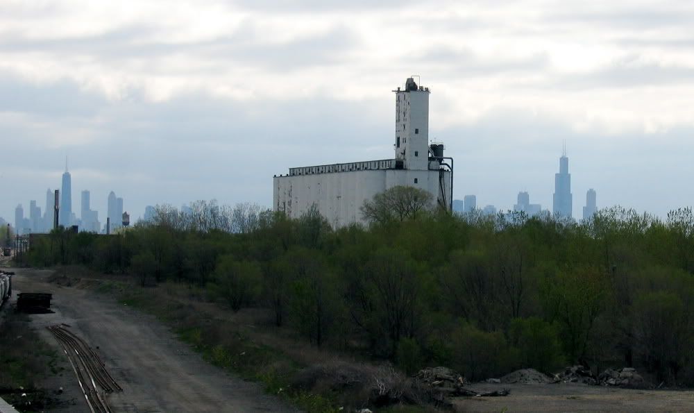
This pix is the tail end of the Galewood Yard, and the abandonded silos of the old Central Soya/Glidden plant (which is long gone) in an "urban forest".* .
....empty expanse of the now-vacant Galewood yard.* Originally a sorting yard for the Milwaulkee Road, it also was the location of a Montogomery Ward mail-order shipping operation.* Closed, and yard operations moved west to Bensenville.* The line is used by CP for freight and Metra for commuter rail..you can see the Hanson Park station platform below...in the distance is the watertower for Zenith..that was their orginal TV factory.
...and American Can Company (or it used to be)
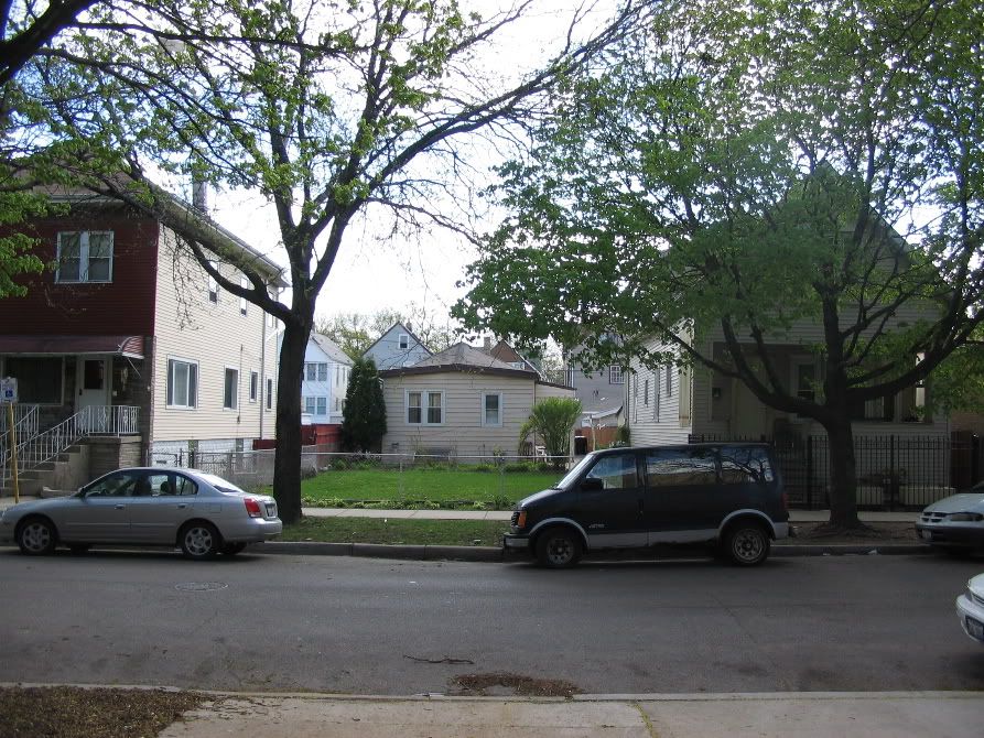
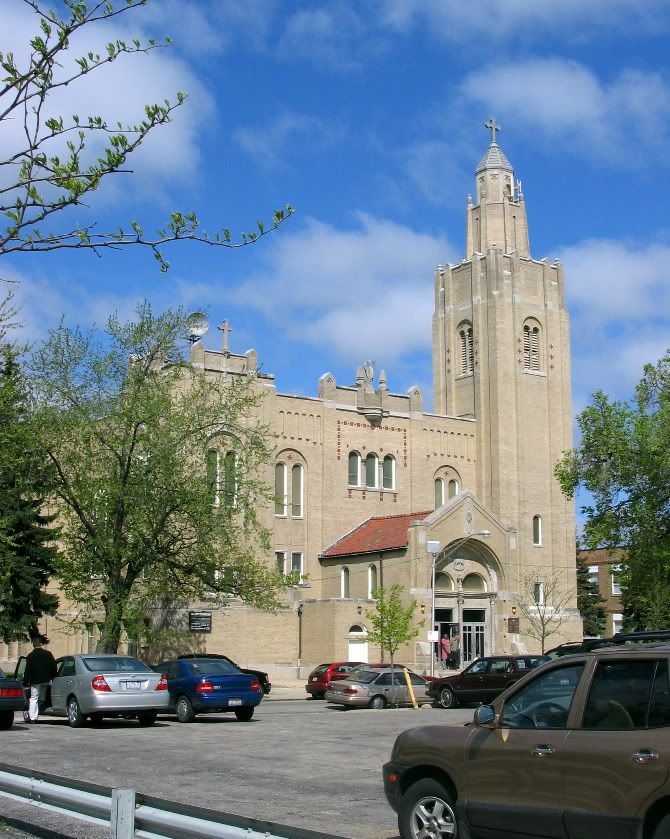
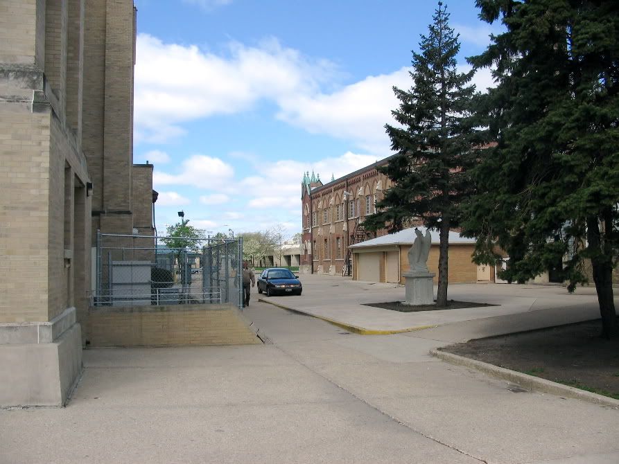
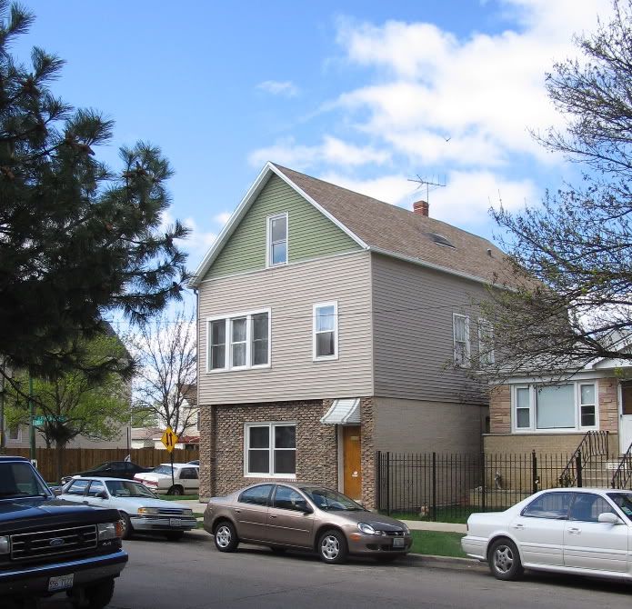
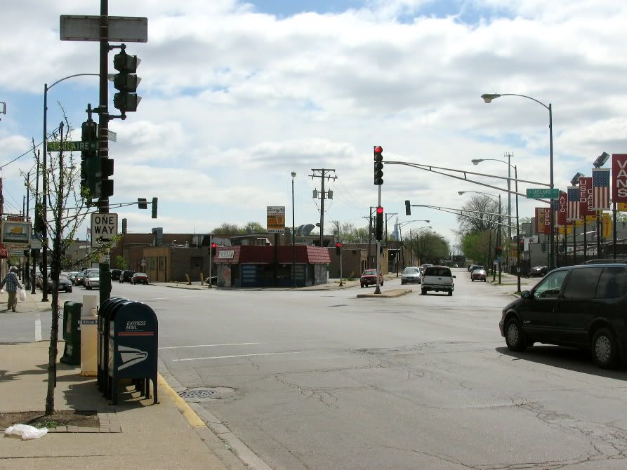
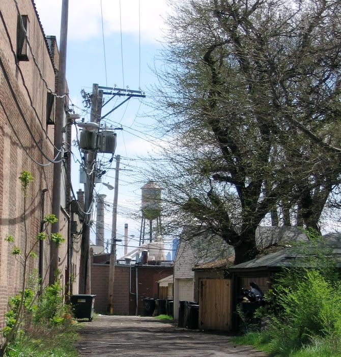
We were on the Central Avenue viaduct, coming down the bridge the neighborhood is visible in the distance, the spire of St Stanislaus visible across Hanson park.
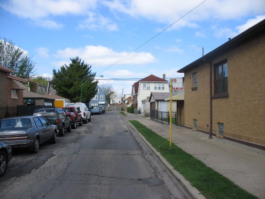
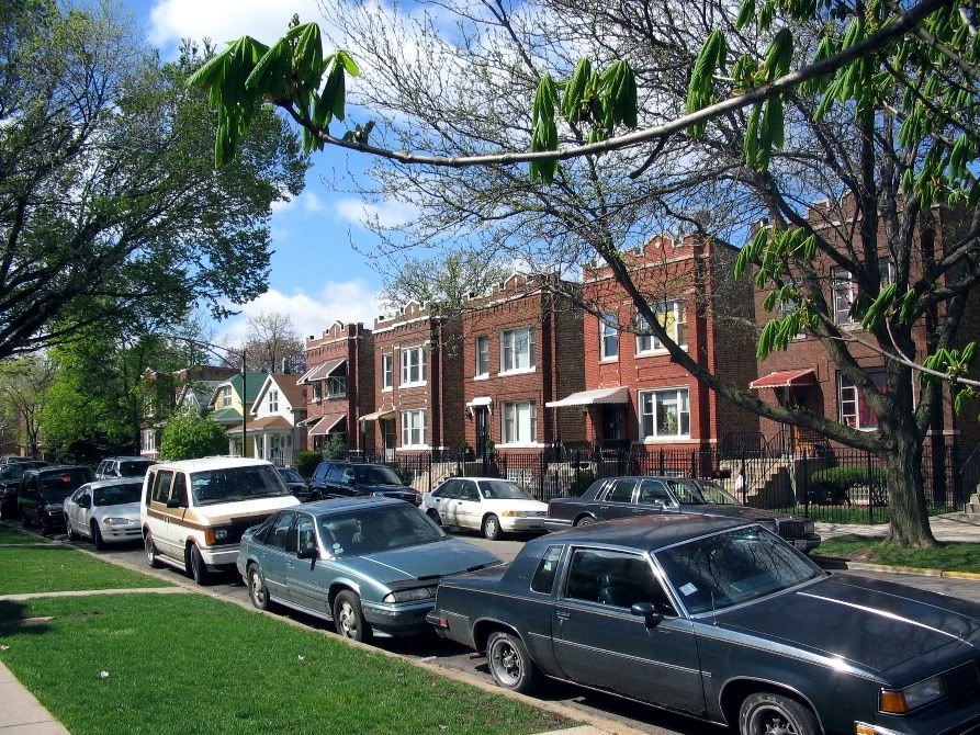
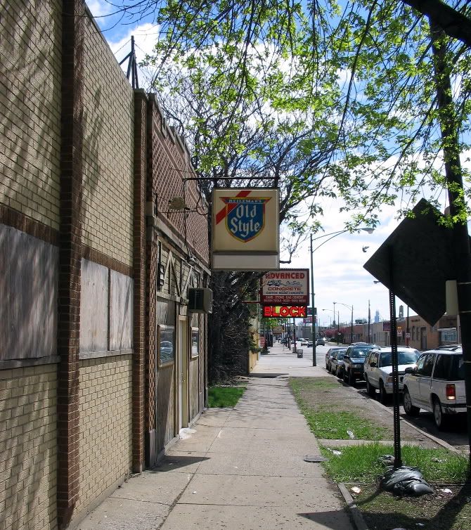
Getting into the neighborhood, walking down Latrobe Avenue, looking down cross streets

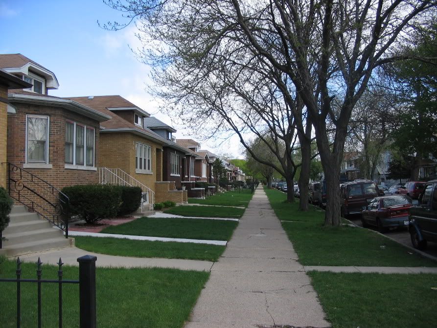
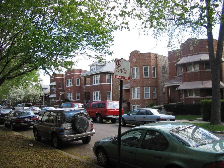
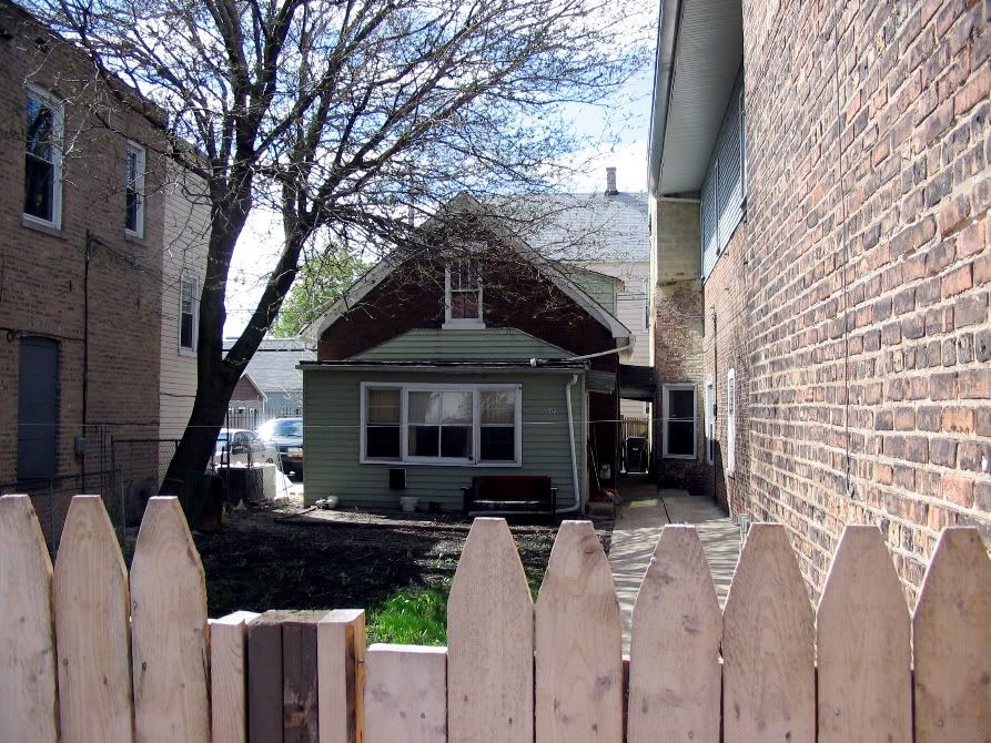
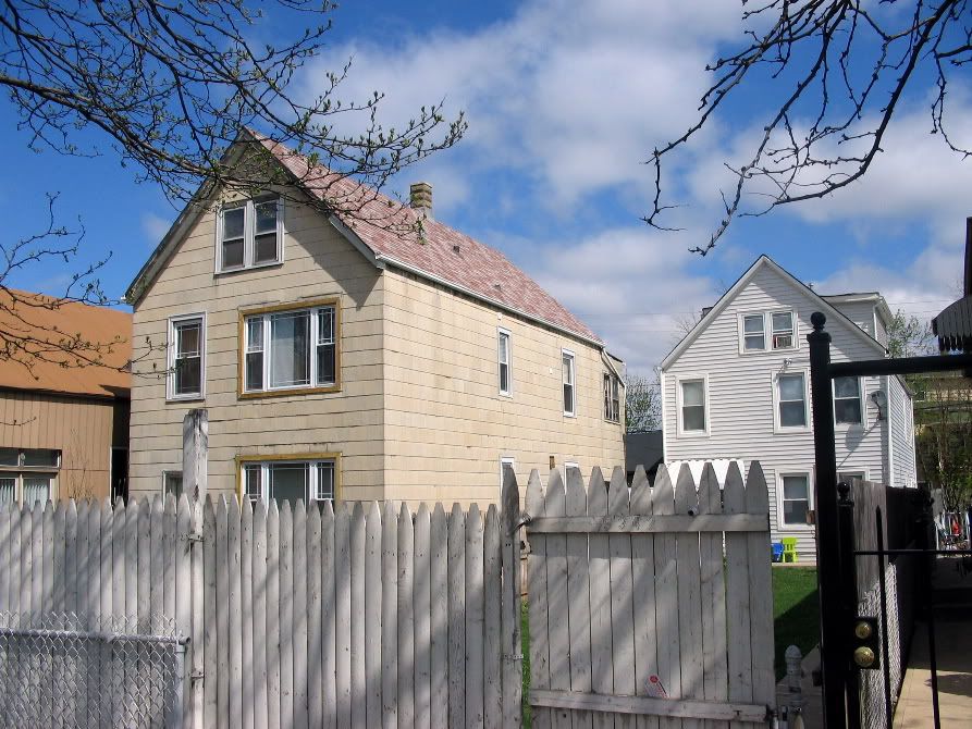
Cragin is in the "bungalow belt", as you can see by this pix, but the part of was pre-bungalow, mostly built before WWI.* These bungalows are fairly late, built in the late 20s on the site of a former beer garden (closed because of prohibition)
This used to be a neighborhood tavern, "Staks":
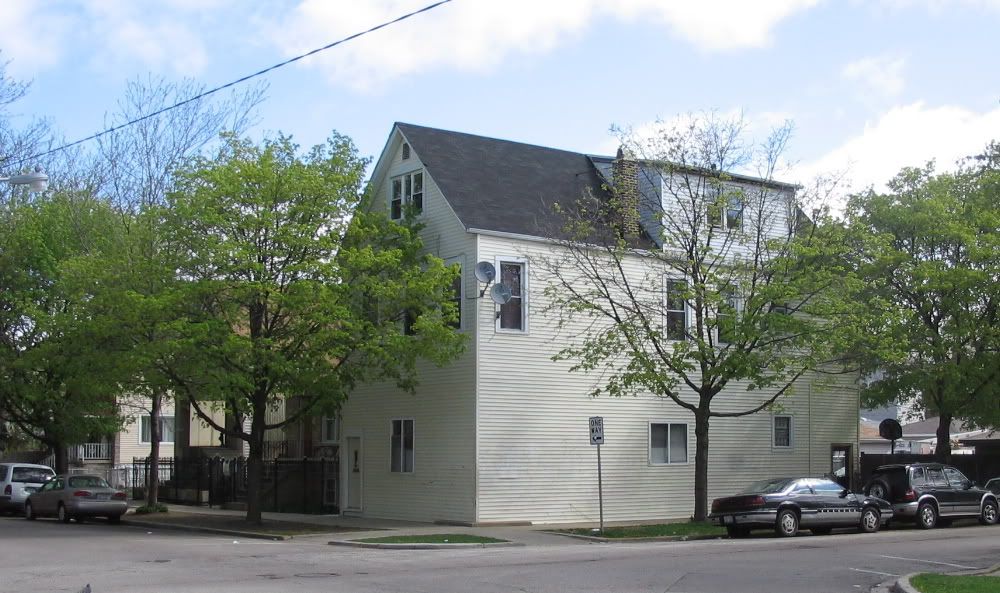
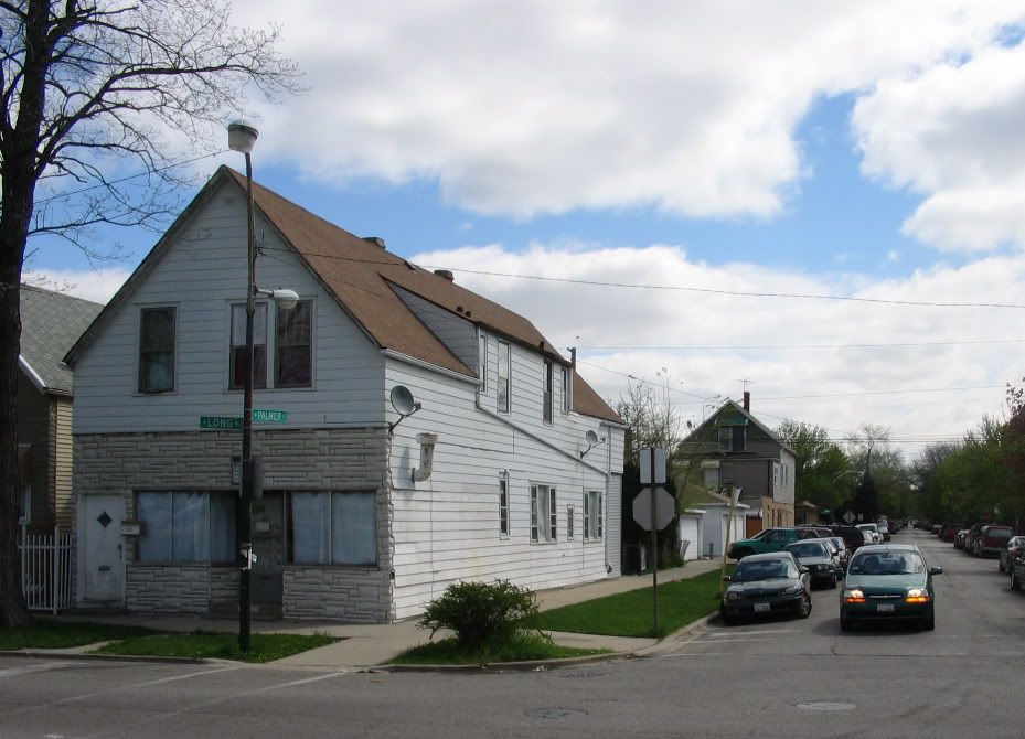
An alley house.* You will be seeing alot of these in Cragin
Post WWII version of the bungalow next to an alley house.* People had double lots and after the war built second houses next to either sell or for their kids

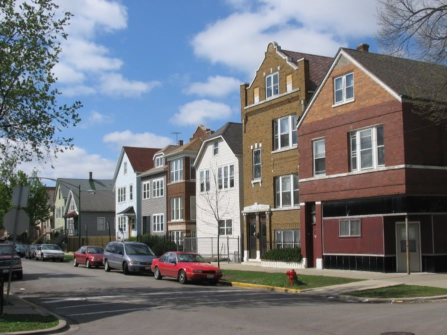
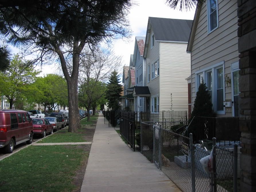
Brick two-flats...sort of the Chicago version of the Cleveland and Buffalo doubel-decker.* Alot of these all over the neighborhood.*
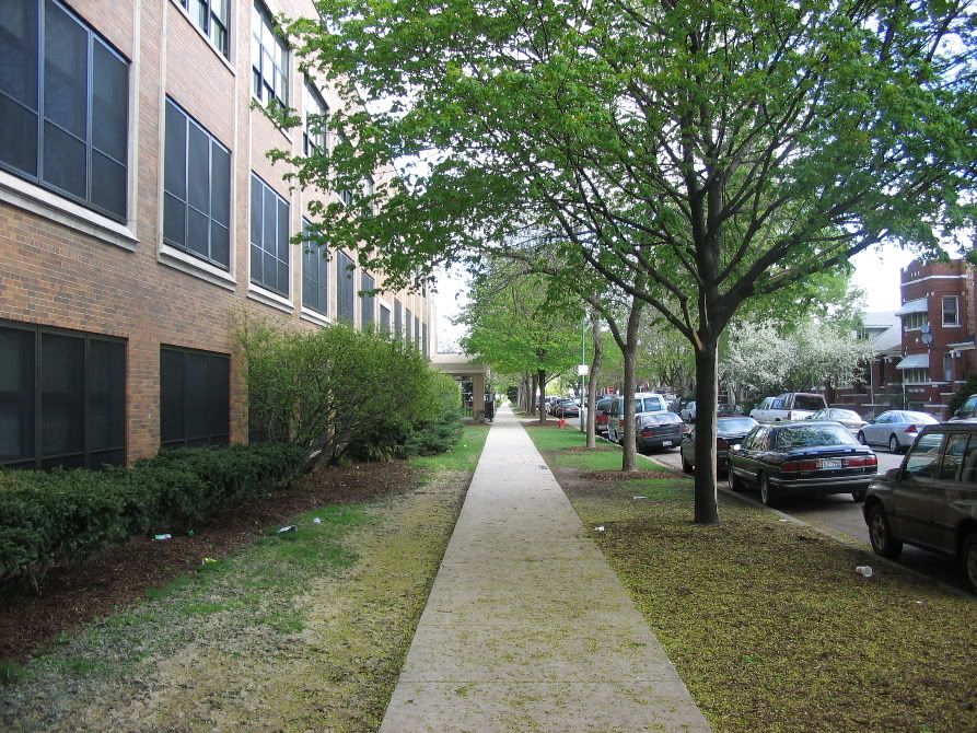
Still walking up Latrobe, Weber High on the right.* This used to be some sort of monastary or chapterhouse for the Congregation of the Resurrection, but they built a high school here in the 50s..it used to be on Noble Street in Bucktown, way in town
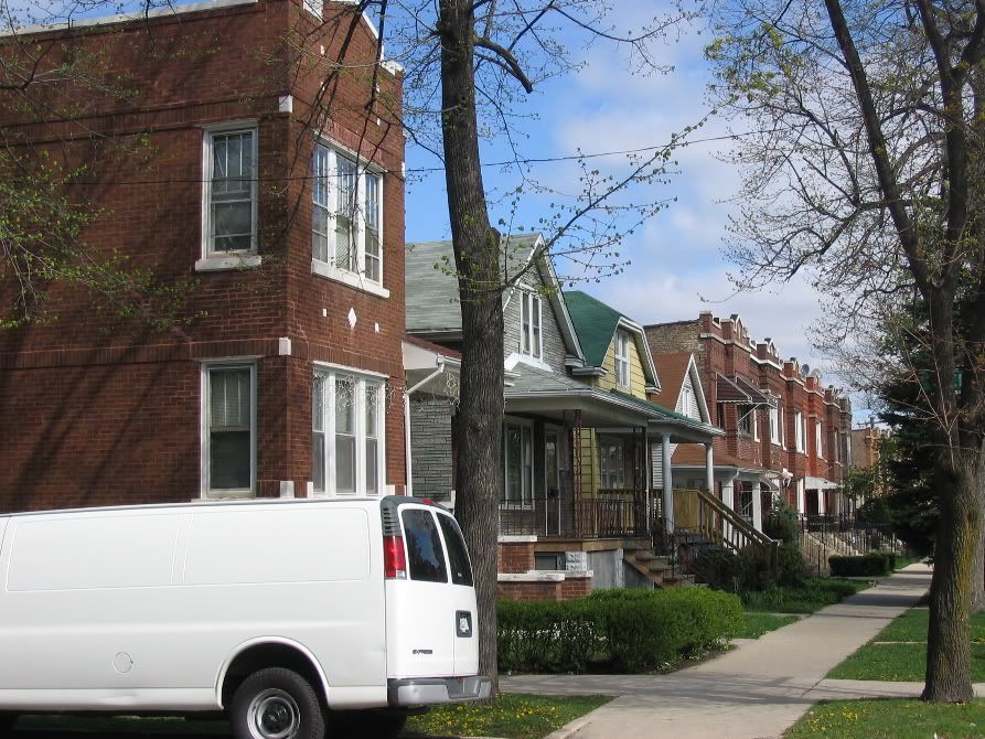
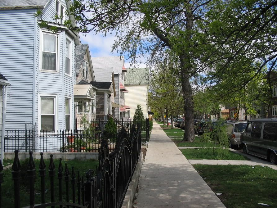
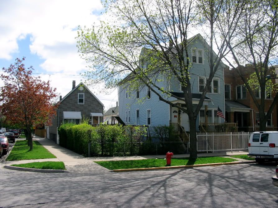
Getting closer to Fullerton...two flats & cottages:
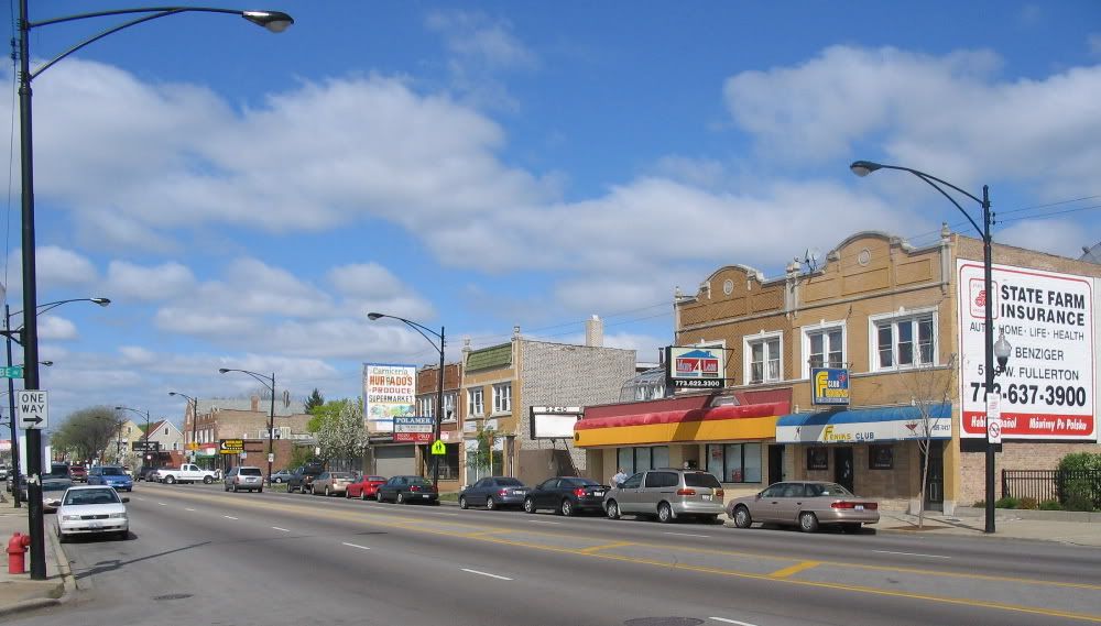
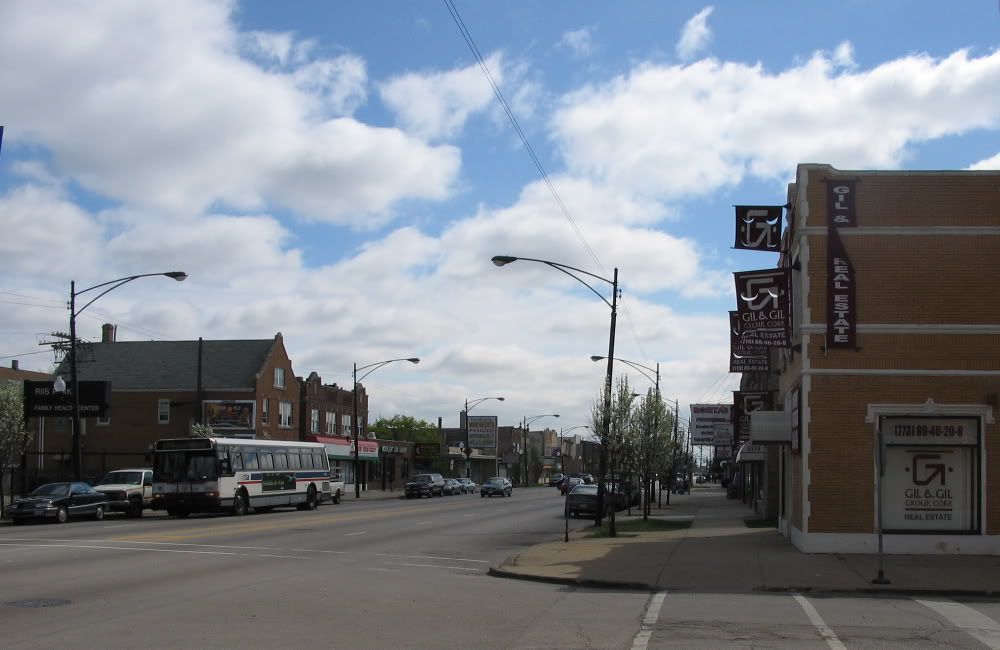
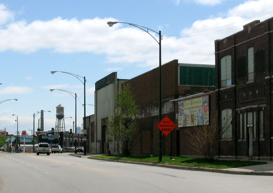
Now we are on the busy street..Fullerton Avenue.* 1920s commercial buildings.* *Up till after WWI this was the "edge of town", and there was nothing here but farms up to Jefferson Park to the north. It was all turned into bungalow & two-flat land in the 1920s.
We'll see more of Fullerton later.
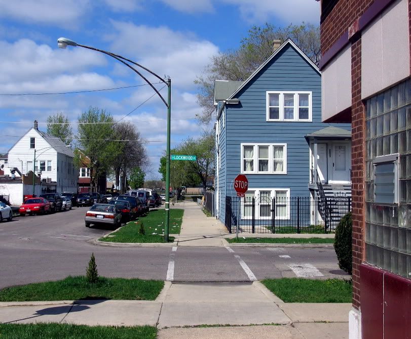
Back into the side streets...a house on the next street over, Lockwood, w. St Stans in the backround
In the alley between Lockwood & Latrobe...the Resurrectionists used to have a really imposing fancy-brick neo-Italian Romanesque style chapel that terminated this vista, but they tore it down and built a parking lot.

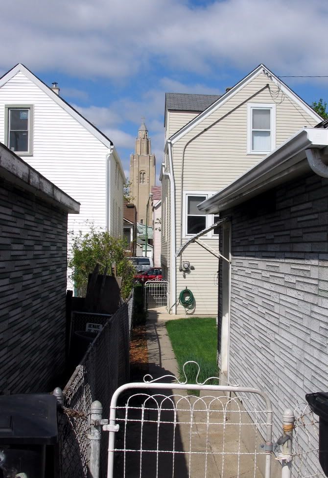
St Stans through the gangways
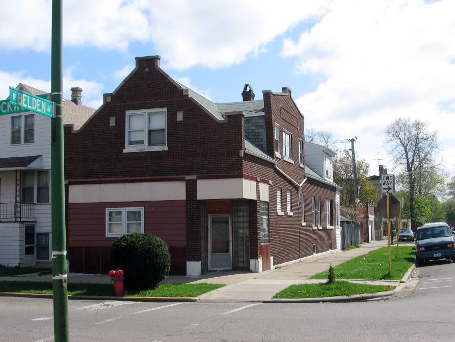
back on Belden, a cross-street, looking toward Lockwood...the way to school for me
...this was a corner store & butcher shop. The owners lived in back.*
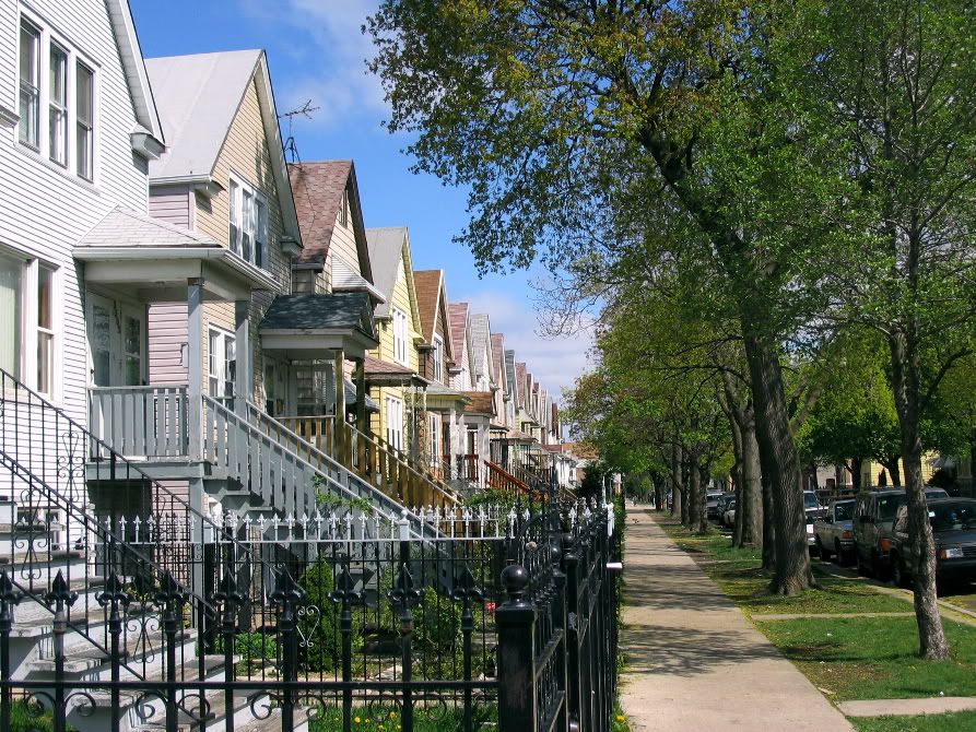
Lockwood porches and gables
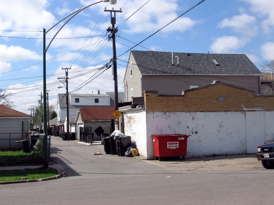
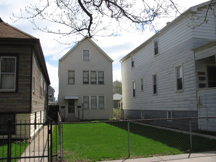
More alley houses
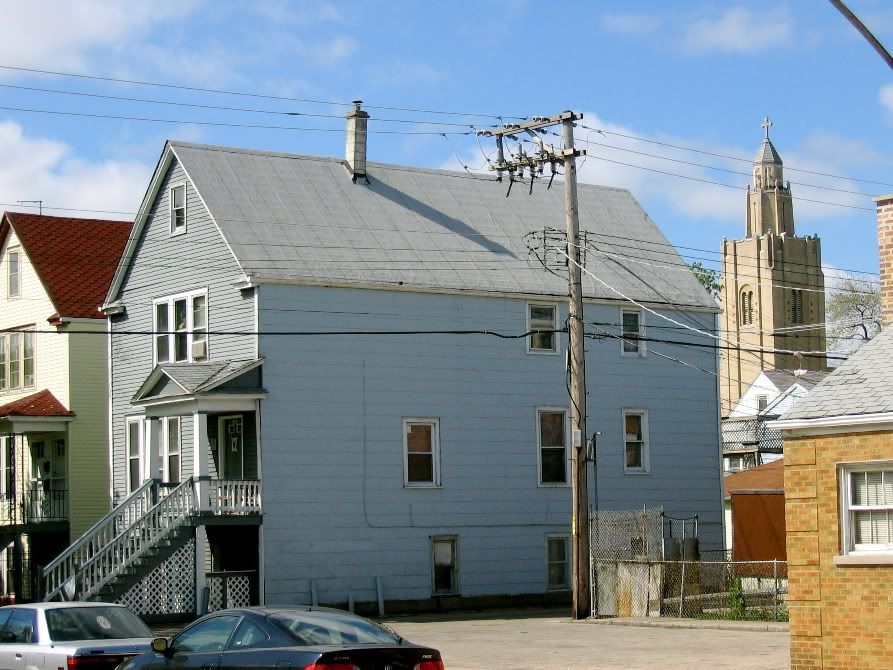
And here is St Stans...
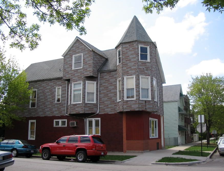
At Belden & Lorel.* The corner place was a tavern.* Others might have been stores.* This is a pretty old part of Cragin, mostly dating before 1900.*
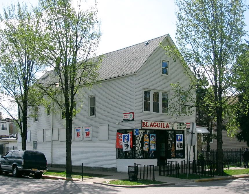
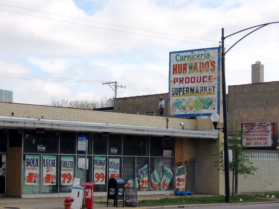
A corner store..The Eagle...Cragin is mostly Mexican now.
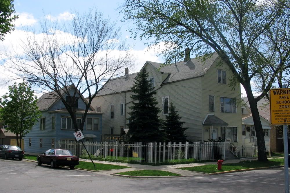
More old houses, facing Hanson Park
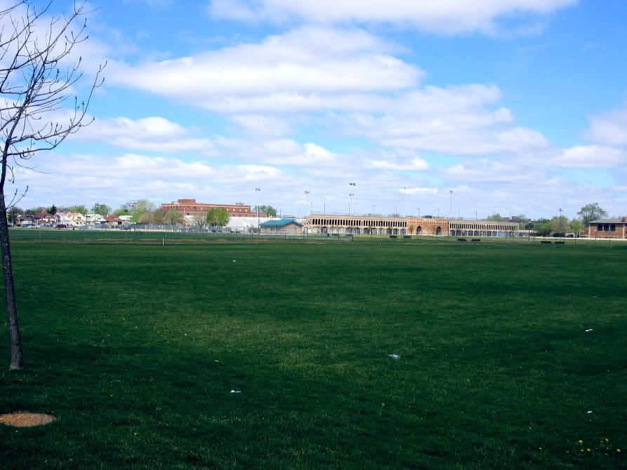
Hanson Park, looking back toward the Central Avenue viaduct...you can see American Can in the distance behind the radio or cellphone tower
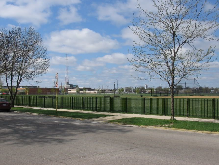
...the reason this park looks like a big field is because it was not a normal park.* It used to be called the "Cabbage Patch" and the idea was for the working class folks in Cragin to use it as sort of an allotment or vegetable gardens.* This didn't work so it was turned into ballfields and a stadium.
More of Hanson Park, with the stadium, and behind it the houses of the Hansen Park neighborhood.* Hansen Park neighborhood was mostly Italian with some Poles..St John Bosco parish for the Italians and St James for the Poles.

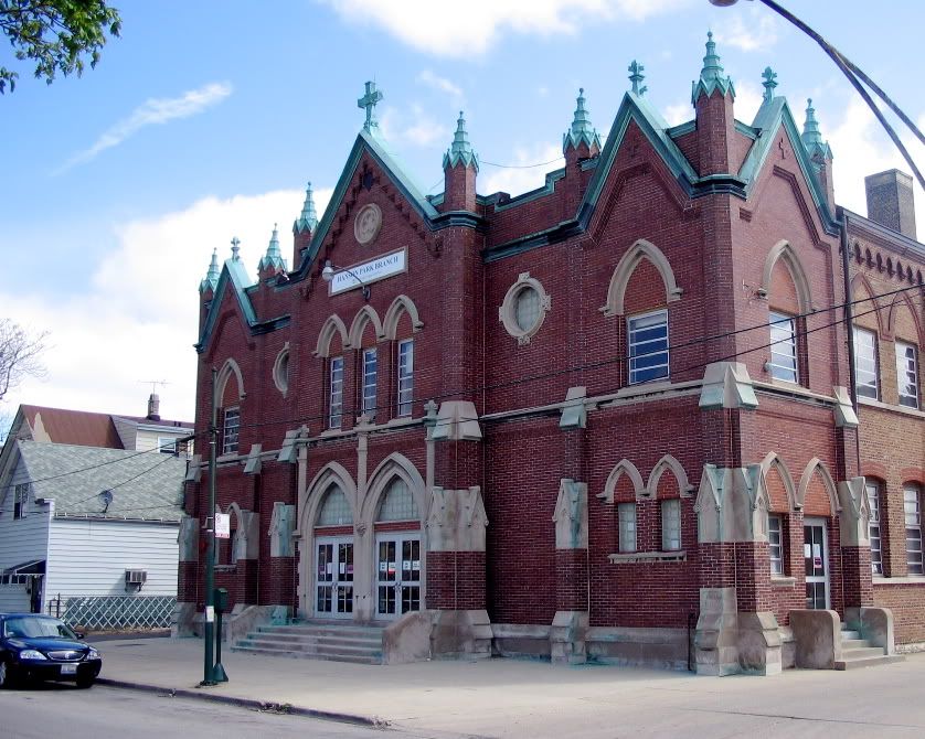
And the old St Stans.*
The first church in Cragin was actually Congregational, in 1883.* The oldest Catholic parish in Cragin was St Genevieve, founded in 1888.* St Stanislaus B&M was founded in 1893 as a colony of "St Stanilaus Kostka" in the old Polish neighborhood now known as Wicker Park/Bucktown, and as part of a real-estate speculation..the real estate developers had a special train out to Cragin for the dedication...the rail line (now known as the "Bloomingdale Line") went right through the Bucktown area.* Though this might sound like a "Polish ghetto" there where other ethnic groups in Cragin; Swedes, Germans, and Norwegians (who had their own Lutheran churches) settled in the eastern half of the neighborhood.*
The original frame church burned, and this neo-gothic replacement was built in 1907.... the sanctuary upstairs, school below.* It was eventually converted into all school.* There was a belfry, but it was destroyed (along w. alot of Cragin) during a tornado in 1913.

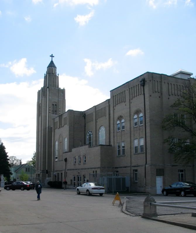
...the new church was built in 1927.* The original frame church & belfry was in the churchyard.
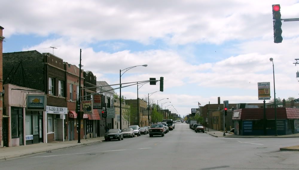
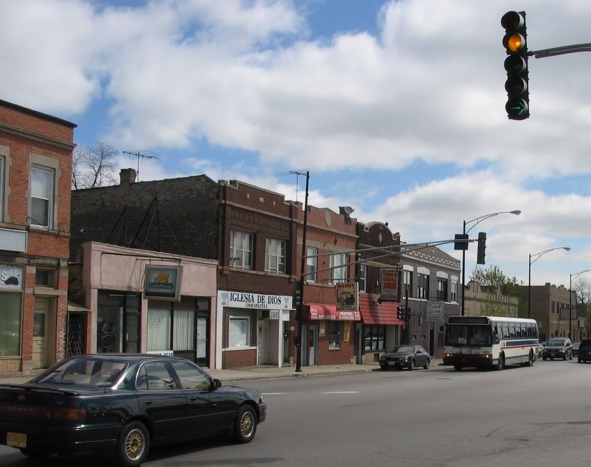
Back on Fullerton...this was the typical local shopping street. barbershop, bakery, clothing stores, toy store, drug store, hot dog stand, funeral home, hardware store, and so forth..
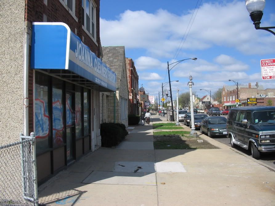
This was a drug store, now a Mexican market.* Good example of postwar infill.* In the 1920s Chicago "overzoned" frontage on busy streets as all commerical, which meant in outlying neighbohoods these properties remained as vacant lots (nicknamed "prairies") until the 1950s & 60s...places to walk your dog.*

Corner commerical building, with Polish beer brands on the signs
Bilingual window shopping on Fullerton, including a surviving art-deco storefront and an old alley house


Suits and houses

OK, enough of Fullerton..back down into the sidestreets.

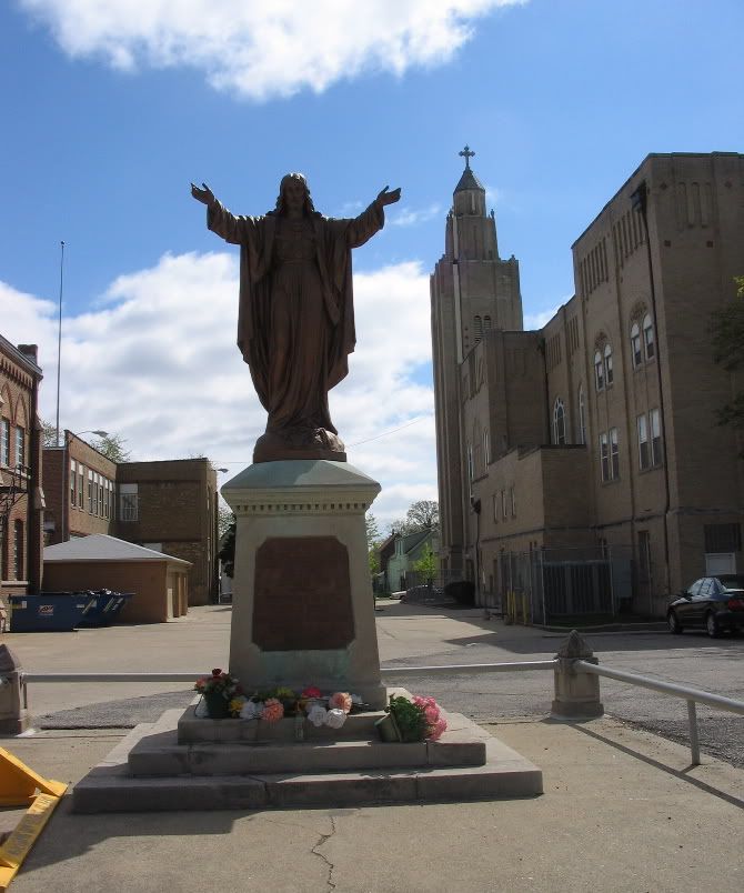
Along the St Stans complex..the nuns built this little Ave Maria garden, and since the BVM is a ethnoreligous symbol or figure in both Polish and Mexican Catholicsm, and this is mostly a Mexican neighborhood, you can see those Mexican devotional candles in front of the statue (I didn't want to get any closer for a pic becuase I didnt want to interrupt that guy saying a prayer there)

...extension to the parish school we saw earlier

across the street....


...you'll note the storefronts.* This was before zoning, and Cragin was more or less a suburban villiage until the mid teens and 20s, so the neighborhood retail happened on this side street...one of these was a store..pizza parlor...as late as the '50s.
Churchyard shots
St Stanislaus B&M..the B&M stands for Bishop & Martyr, tho one of our priests said it really meant Bourbon & Martini since this was such a hard-drinking parish


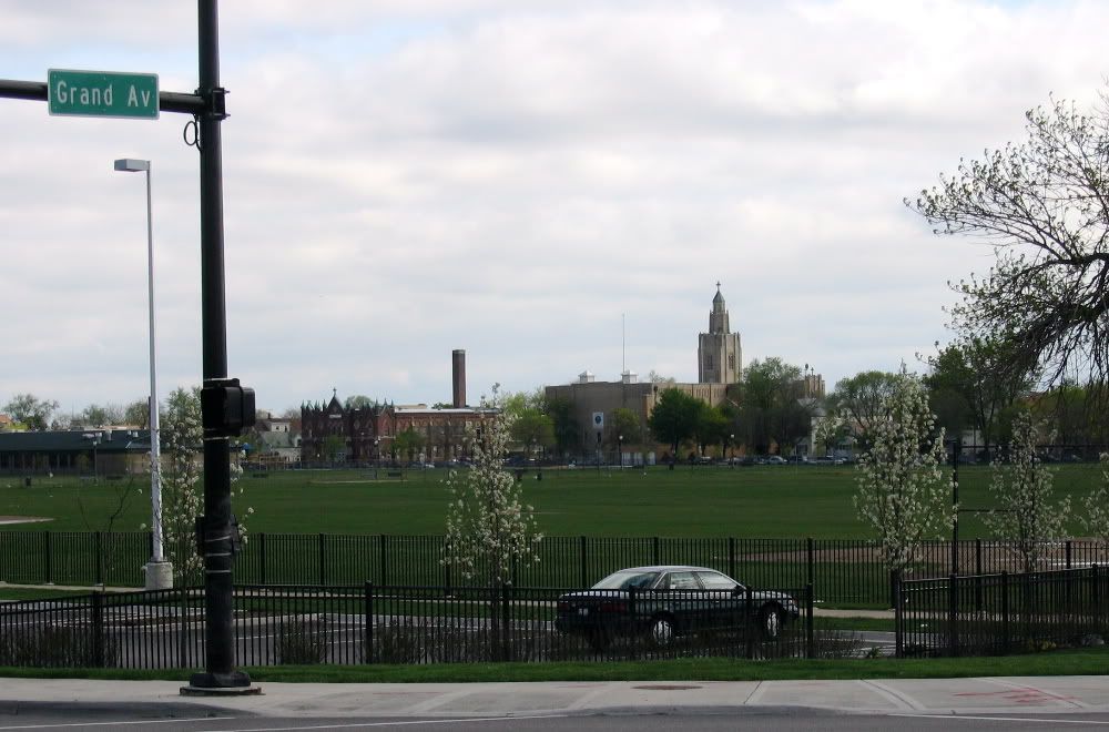
And now just a bunch of neighborhood pix as we walk south to Grand Avenue and Whiskey Point


This used to be a bakery
This great corner building used to be Hondo's Tavern.


More of Hanson Park--"the Cabbage Patch"---and its stadium.* The Chicago German and Polish amature soccer leagues used to play here, and the Cavaliier drill team used to practice here

This place looks like it has its orginal windows
good example of a nicely landscaped side yard

Another converted storefont...

Grand Avenue...not so grand, but actually rather industrial as it backs up onto the railroad...
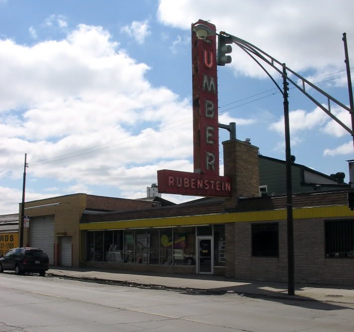
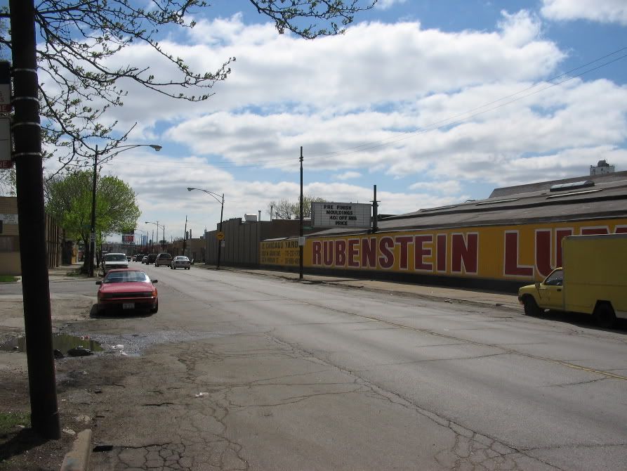
Rubensteins was a great place..all sawdust and fresh cut lumber....
Grand Avenue actually runs at a diagonal across Chicago.* It was an old indian trail, then an army road during the Black Hawk War (called "Army Trail Road" out in the sticks), later a plank road (1850s) called Whiskey Point Road.* *We'll follow it to the older part of Cragin, Whiskey Point.* The first streetcar line into this area came down Grand, in 1912, which really kicked off a construction boom.
Alot of the older houses on Grand have been replaced by industry
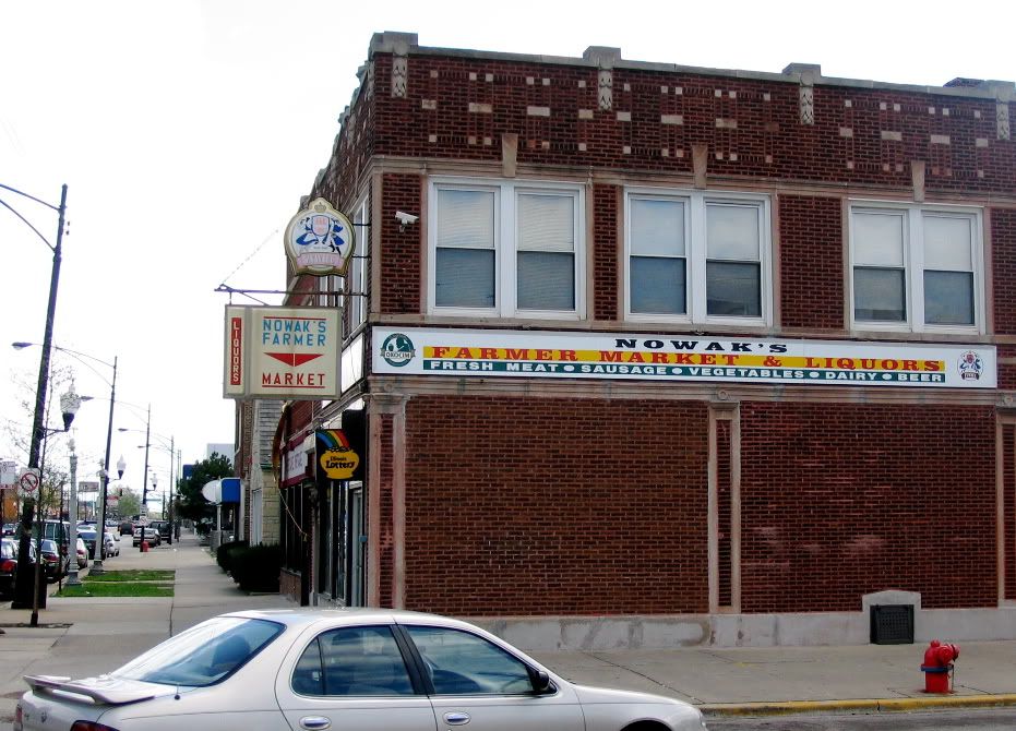
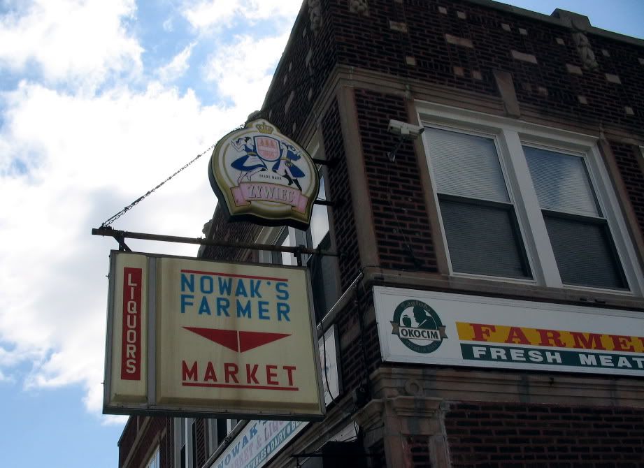
A surviving neighborhood tavern.* There used to be 7 taverns that I knew of...
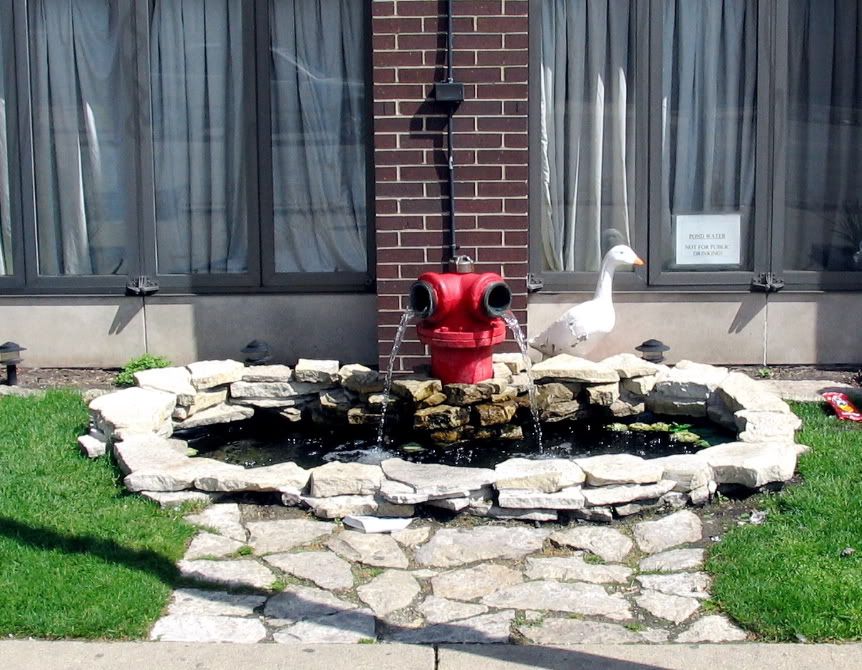
Fire Department engine house has this little display. Sign says "do not drink, pond water!"


Getting closer to Whiskey Point...you can see three old storefront buildings w. new siding..
..here we are..Whiskey Point.* Grand Avenue heads off into Chicago on the right, Armitage Avenue on the left.* The origin of the name is murky, but The Whiskey Point Hotel of 1862 (really a tavern) was on the point. The tavern was probably torn down in the 20s and replaced by the Cragin State Bank, which went under in the Depression and remained vacant till the early 70s...a big dusty old limestone-faced building.* Replaced by the gyros stand.* This area was the original "downtown" of Cragin during its "industrial suburb" days.
looking east down Armitage
A better look at some of the old storefronts.* There used to be a small department store here..the Cragin Department Store with its creaky wood floors, and a soda fountain/grill..the Point Grill
...close up of a graffitti mural on the gyros place

Tho this is the oldest part of the neighborhood not much old is left as the houses have been replaced by factories like this one, on Grand

..or torn down for vacant lots
We are back at the Milwaulkee Road (now CP/Metra) line.* LeClair Ave viaduct.* Note the steps at right....
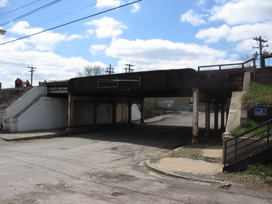
..which takes you to the Cragin Station..or whats left of it.
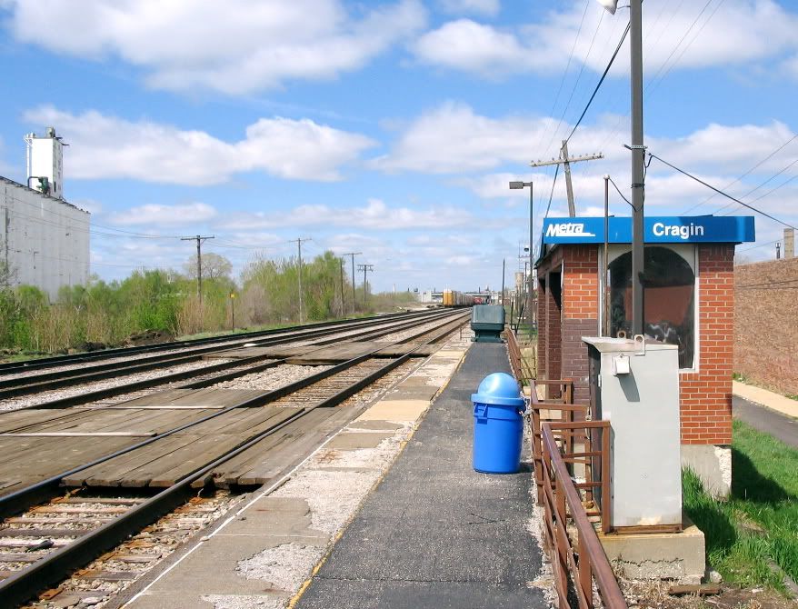
The station I remember probably dated from the track elevation before WWI....it had a waiting room and a station agent (who probably didn't have much to do as there where few passengers here) + baggage room.* The original station, built for the Cragin Brothers' factory and plat in 1883, probably looked like these two, on the same railroad line* but further west (the first is a rare example of an orginal suburban station on this line)


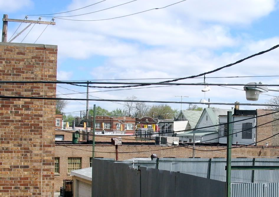
Some views over the rooftops from the station. This area was actually more built up in the 1960s, but the houses are probably way too old to fix..1880s...


And looking back into the city.* This railroad orginally was the Chicago & Pacific, built in 1873 (never reached the Pacific, but maybe Omaha?).* Went bankrupt and was taken over by the Milwaulkee Road in the 1880s.* The Belt Railway of Chicago (BRC) was built to just east of this pix ("Cragin Junction") in 1882, and there was also a crossing w. a C&NW* crosstown branch here, too, which made this a great potential industrial site..probably why the Cragin brothers opened up their plant* here...they also bought a rivet factory in Connecticut and imported it and its workforce in the late 1880s...the first residents of Cragin where a bunch of Connecticut Yankee mill hands.* The sorting yard was built probably in the 1880s or 1890s.
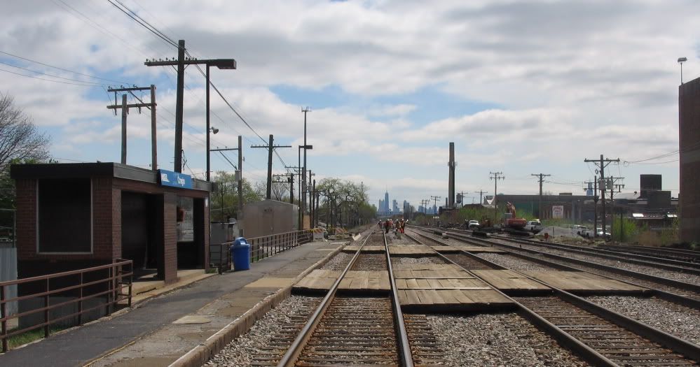
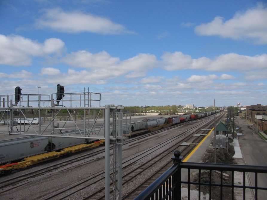
Close up of the track workers, industrial district, and Chicago skyline.* Signals guard Cragin Junction and Pacific Junction further east into the city
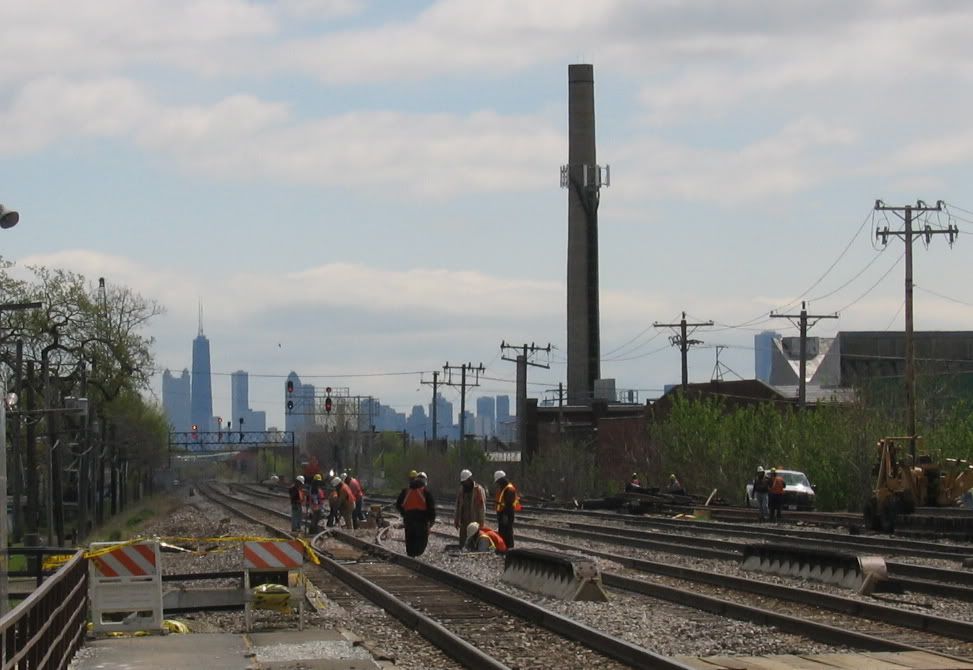
Always been alot of train movements here.* I recall Union Pacific streamliners, BRC switchers, and the usual MILW trains.* Now that ownership has changed one sees CP and Soo Line power (note the "60s" supergraphic varnish on the Soo Line locomotive)

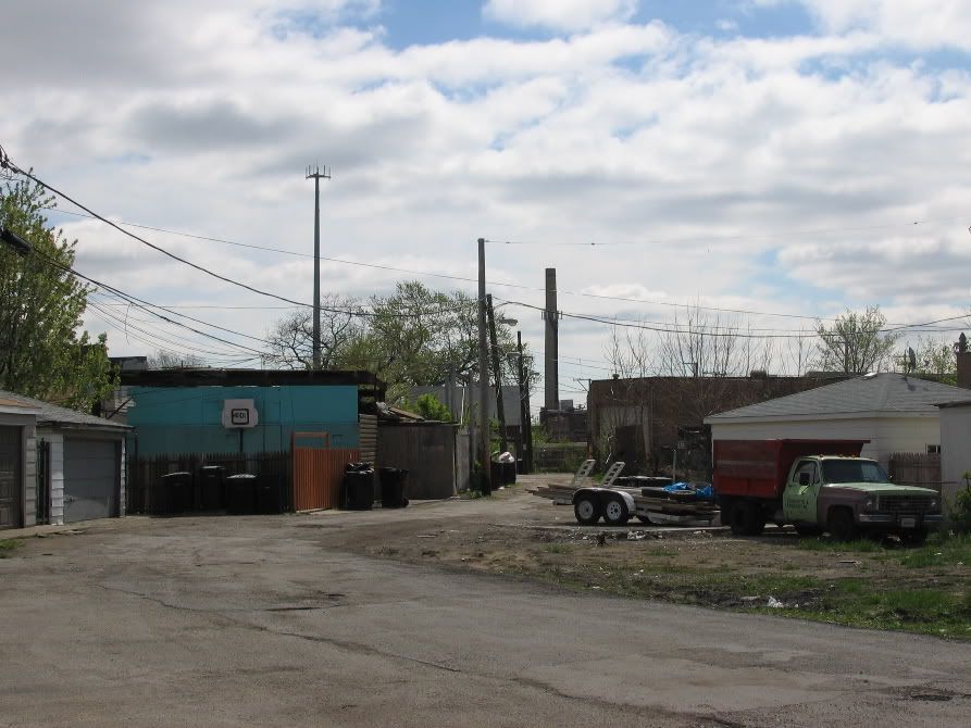
Urban forest and derelict industrial property.* Amazing.* 30 years ago this scene would have been filled with switch points and the start of the yard tracks, and freigh cars at the end of the Galewood sorting yard.
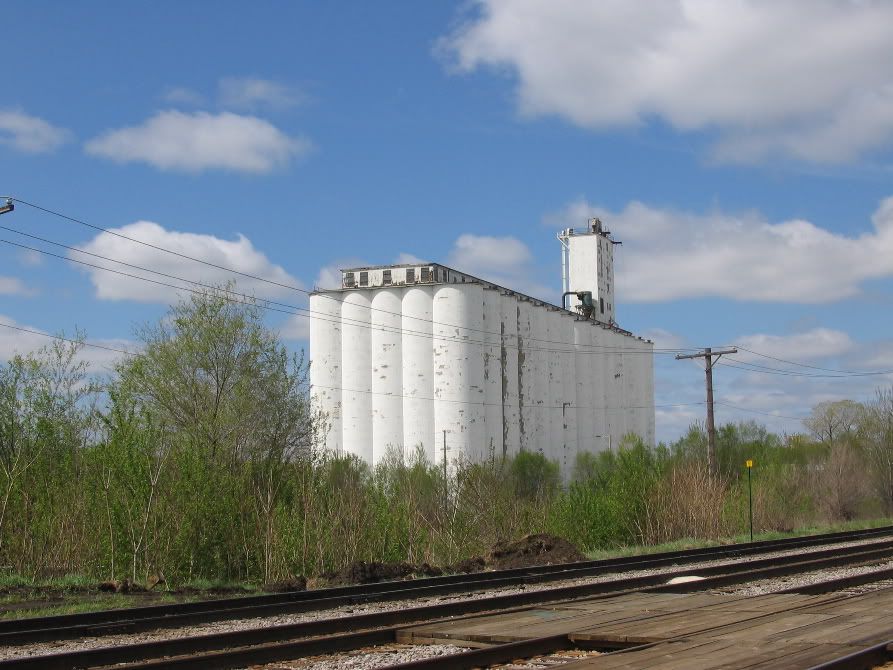
This vacant lot used to be the Central Soya site, formerly Glidden.* A fairly large clanky factory housing a spaghetti of pipes and tanks, with a factory whistle that you could hear all the way across the neighborhood.* The industrial use of soyabeans was pioneered here, as well as food products use...there was a research lab here, too (directed by Dr. Percy Julian)* Sort of an important place in agribiz history.* The early process used was somewhat dangerous as this plant blew up in the 1930s, levelled a city block, killed 11, injured 40.* They rebuilt it, but its gone now (bought by ADM in the early '80s & closed).* This was a pretty impressive operation in its time..
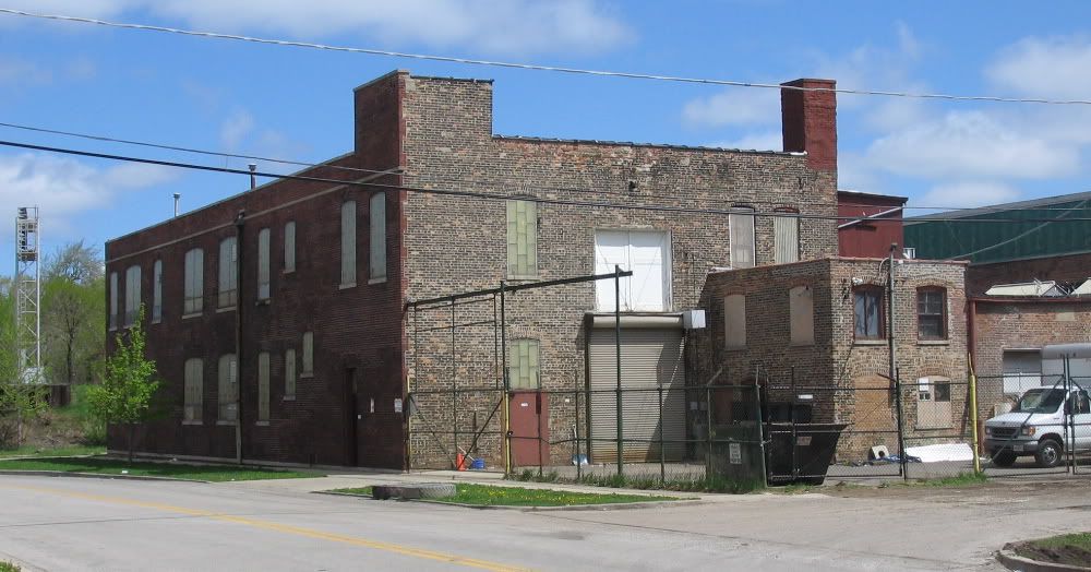
Cragin factories.*
The Cragin Bros.' Cragin Manufactuing was the start..they made housewares, rivets, hods, all sorts of metal stuff, and did galvanizing and "japaning" . Some of the other*early plants here where the Church, Kerr & Company subsidiary or division of Westinghouse, Pitts Argicultural Works (which had a plant in Dayton, too), Washburn & Moen (the barbed wire people), a motor company that made stuff for Bendix, hominy mills, and malt houses, and a paint company that was bought by Glidden.* Later a big employer was Ecko (the pots & pans company), and something called Pettibone-Mulligan, which had a huge plant on Cicero Ave. on the BRC. Plus alot of smaller companies...


Chimneys & watertowers ..looking toward the industrial district along the belt railroad.
Grand Avenue curving & bending its way into the city...follow this and you will end up at Navy Pier (the Grand Ave. streetcar used to go right on the pier)
So, Cragin. An ungentrified neighborhood that is pushing and in some areas over the century mark, but still in good condition.
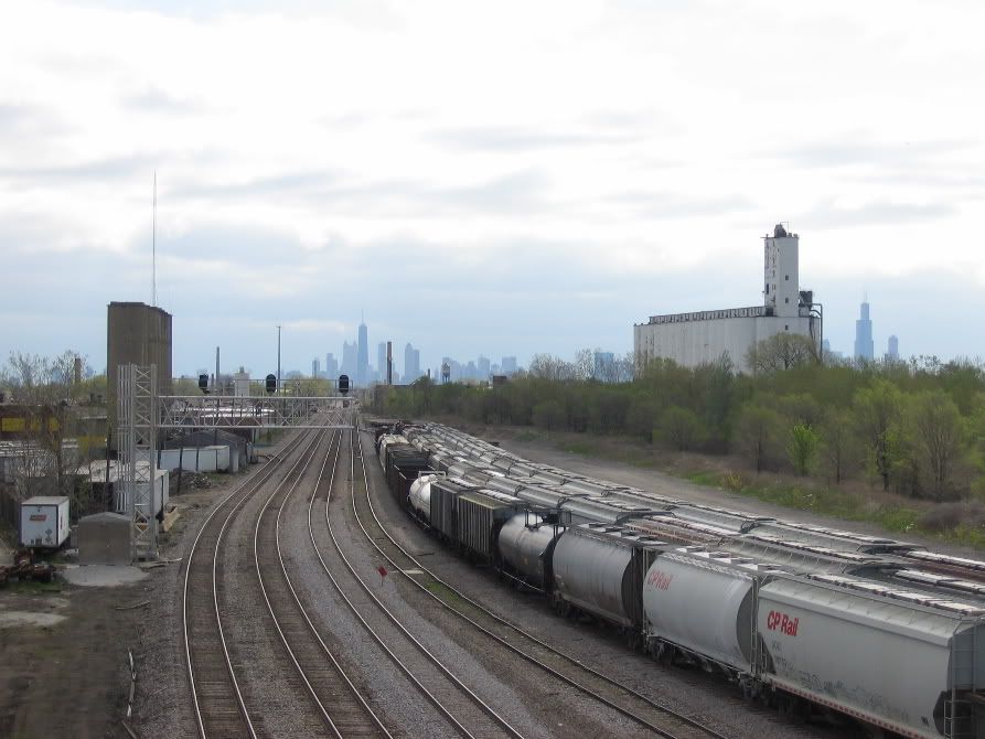
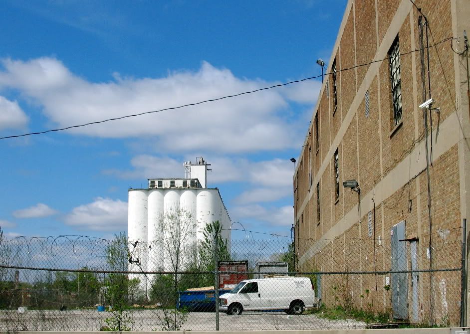
A final shot of the neighborhood landmark grain elevator w. Chicago skyline
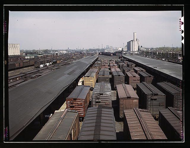
...and a 1940s Farm Security Admin shot of the same wooded area, but as a busy railroad yard....
 > > |

0 comments:
Post a Comment